Millimeters from Orbit: What GNSS Machine Control Actually Delivers on a Rail Job Site
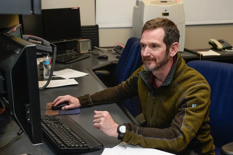
Photo: Christopher Dewitt, Public domain, via Wikimedia Commons
Every contractor pitch deck these days seems to include the same slide: a 3D model of a track corridor, a constellation icon, and a tolerance claim that would have sounded like science fiction twenty years ago. Satellite-guided grading to within a centimeter. Machine-control tampers adjusting track geometry in real time. For procurement officials evaluating rail construction bids, the question is no longer whether this technology exists — it's how much of the promise survives contact with an actual job site.
What the Systems Actually Do
At the core of modern machine control is a positioning chain: satellite signals from GPS, GLONASS, Galileo, or BeiDou, corrected by a local base station or RTK network to achieve real-time accuracy in the range of one to two centimeters horizontally. That corrected position feeds a site model — the design surface for a subgrade, a ballast prism, or a finished track profile — loaded directly into the machine's onboard computer.
A motor grader running this setup uses an automatic blade control, either via hydraulic actuation or a light on the operator's console, to hold the cutting edge at design elevation without the operator guessing. On a greenfield construction project where a new siding or industrial lead is being built from bare earth, this is transformative. One pass, correct grade. A second pass to verify. No stakes, no stringline, no waiting for a survey crew to re-check cut depths.
Tampers and regulators have followed the same logic. Modern track-mounted tampers equipped with GNSS receivers and, increasingly, inertial measurement units can reference their position along the alignment and lift, line, and tamp to design geometry continuously rather than in discrete survey-marked segments. Combined with a LiDAR or photogrammetry scan of the existing track — flown by drone in a matter of hours — the contractor can compare as-built conditions against design geometry before a single machine fires up.
The result, on well-run projects, is measurable. Geometry quality car reports show fewer point deviations. Production rates improve because machines aren't idling while waiting on survey verification. Rework drops. For a Class I connection or a transit authority's new track extension, those savings compound across every mile.
Where the Accuracy Claims Get Complicated
The honest answer to "how accurate is it?" is: accurate relative to what.
GNSS positioning, even with RTK correction, drifts. Multipath interference — signals bouncing off buildings, cut slopes, or dense tree cover along a rail corridor — degrades reliability precisely where urban and industrial projects are most common. Vertical accuracy is typically weaker than horizontal. And critically, satellite positioning tells a machine where it is in global coordinates, not where the track is in relation to the railroad's alignment records, which may date back decades and live in formats ranging from modern GIS databases to paper profiles in a division engineer's filing cabinet.
Bridging that gap is the unglamorous work. A control network has to be established on the ground — fixed points, verified by conventional instrumentation, tied to the railroad's actual alignment. If that control is sloppy, every machine downstream inherits the error with total confidence, because the onboard computer doesn't know it's wrong. The technology amplifies the quality of the setup behind it, in both directions.
There's also the matter of what these systems can't see. A GNSS-guided tamper knows where the design profile sits, but it doesn't replace the diagnostic judgment of a track supervisor reading the ground conditions — spotting a soft subgrade that will settle regardless of how precisely the ballast was placed, or recognizing that a curve's design superelevation no longer matches the tonnage actually moving over it.
Why Survey Crews Remain Essential
The most experienced contractors describe machine control not as a replacement for surveying but as a redistribution of it. The crew that once spent days driving stakes now spends those days establishing and verifying control networks, running independent checks on machine work, and performing the final as-built surveys that a railroad's engineering department will demand before accepting the track.
That final verification matters more, not less, in a machine-control workflow. A self-confident system producing continuous geometry data is persuasive — and a single undetected control point error can propagate through miles of otherwise excellent work. Independent check surveys, using total stations and conventional methods, are the insurance policy. Procurement officials should treat a contractor's survey staffing plan as seriously as their equipment list.
Reading a Tech-Forward Bid
For agencies and industrial clients evaluating bids, a few questions separate genuine capability from slide-ware:
- What's the control plan? Ask how the contractor establishes and verifies horizontal and vertical control, and whether an independent check is budgeted.
- Who owns the model? Design surface errors discovered mid-construction are expensive. Require model review sign-off before mobilization.
- What's the as-built deliverable? Machine control generates rich data. Specify that geometry reports, machine logs, and final surveys be delivered in formats your engineering team can use.
- What's the fallback? A contractor dependent on a single technology, with no conventional survey capacity, is fragile in ways that matter on a possession window.
The technology is real, and on the right projects it delivers measurable gains in speed and geometry quality. But the firms getting the best results are the ones that treat satellites as one instrument among several — and keep experienced people checking the work, inch by inch, on the ground.